Tag: GIS

LCA’s GIS Team Creates Digital Maps to Track Water Infrastructure
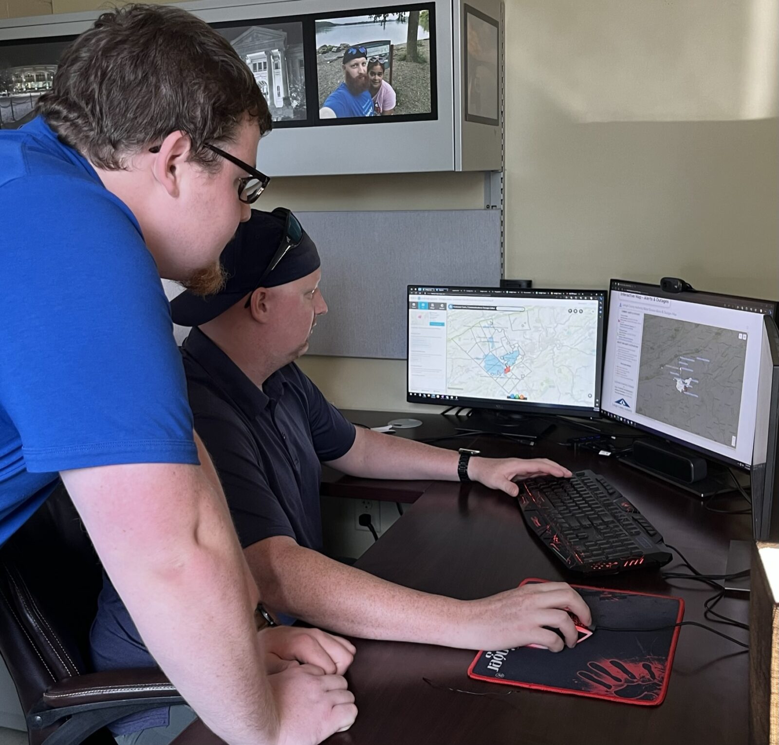
August 8, 2023With more than 1,065 miles of water and sewer lines to manage, it’s a good thing LCA can rely on technology like our geographic information system (GIS) to help us map and track our infrastructure. It’s also a good thing we have awesome professionals like Dan Stevens (seated in photo), our asset management technology manager, and James Luma,…
Celebrate National GIS Day with LCA
November 12, 2018You probably didn’t know that Wednesday is National GIS Day. In fact, many of you are probably scratching your heads and thinking, “I don’t even know what GIS is!” GIS, or Geographic Information System, is a way to capture, manage, analyze and present geographically referenced data. In short, it’s a type of computerized mapping system….