LCA’s GIS Team Creates Digital Maps to Track Water Infrastructure
 August 8, 2023
With more than 1,065 miles of water and sewer lines to manage, it’s a good thing LCA can rely on technology like our geographic information system (GIS) to help us map and track our infrastructure.
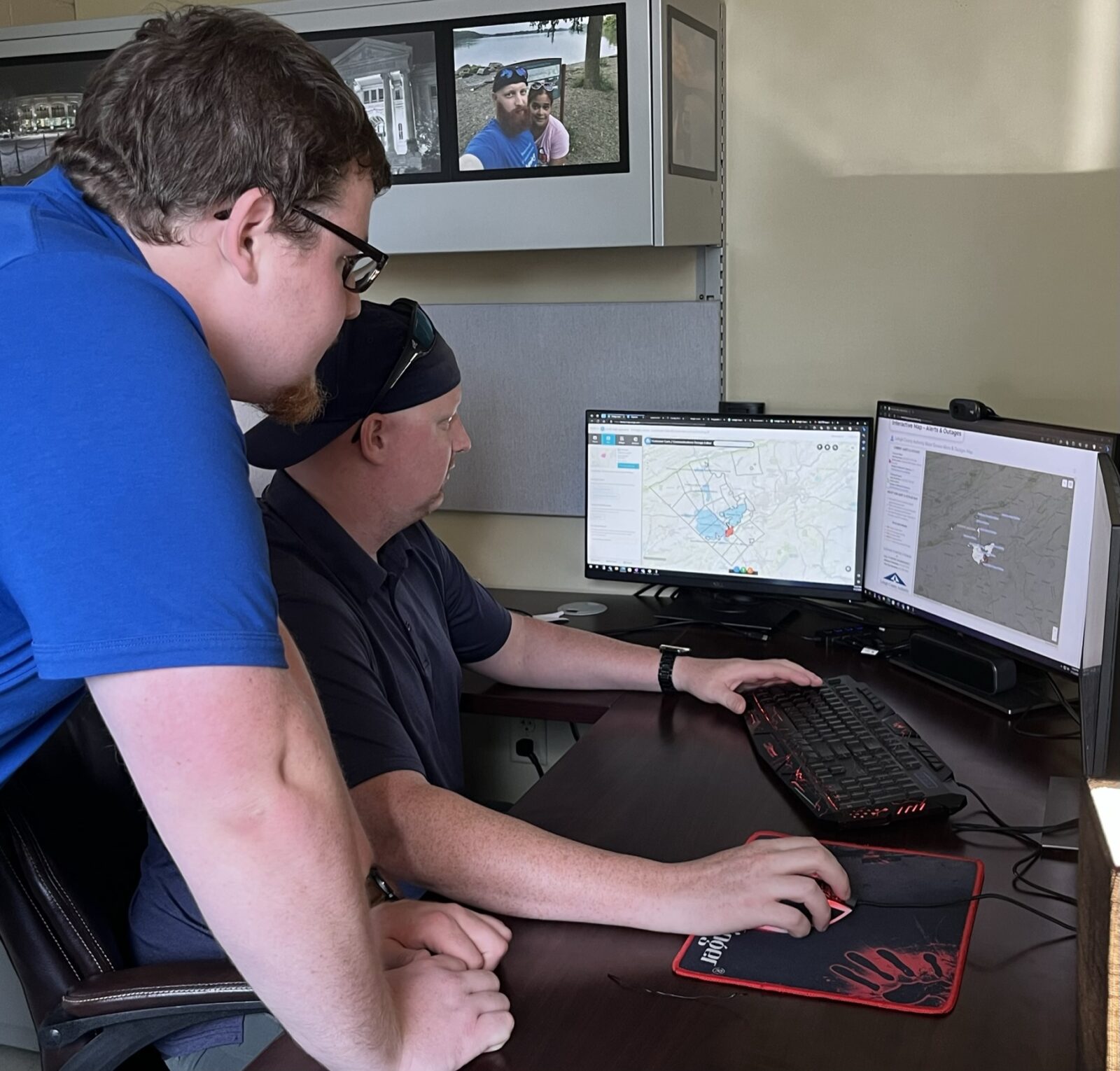
It’s also a good thing we have awesome professionals like Dan Stevens (seated in photo), our asset management technology manager, and James Luma, GIS specialist, to help make sense of it all.
A Geographic Information System is, at its most basic level, a type of computerized mapping system. The use of GIS spans many industries — from helping us track our resources in the water industry; to transportation services such as the map app on your phone; to data collection by public health services, and beyond.
Mapping Infrastructure
Here at LCA, Dan and James rely on GIS, combined with our computerized maintenance management system, to monitor our water and wastewater infrastructure in a way similar to those map apps. They use several data collection applications to gather information on new and existing assets across the 20 municipalities we serve. Those assets include 15,804 water valves, 3,709 fire hydrants, 662 miles of water mains, 403 miles of sewer lines, 30 pump stations, 15 storage tanks, and eight treatment plants.
“I usually relate GIS to how when you click on a point in Google maps, you get a bunch of data attributed to that location/point,” Dan says. “Similar to how you might find a restaurant near your location based on a food type, we can analyze our distribution network based on type of asset (ie. pipe, manhole, valve).”
LCA’s GIS database stores information about each pipe, pump, and manhole, such as when they were installed, size and material. We can search the system to find items that are similar. For example, LCA can search its GIS database to find all sewer manholes installed before 1950, or all water pipes made of cast iron.
Details about assets are important because they help us forecast their management and replacement, taking life expectancy into consideration. Replacing assets prior to failure due to age can help reduce down time or catastrophic failures.
And since many of those assets are underground, we cannot physically see all of them. That’s why it’s essential to have a digital GIS “twin” that helps track all the work we’ve performed, such as line repairs or replacement. The GIS allows LCA staff to use the data to better forecast and plan for the future, and helps our engineers plan for new construction and ensure we can meet our customers’ needs.
One of the keys to planning, constructing, and maintaining a large water system is determining asset location. GIS is crucial to our work at LCA, because it enables our team to look deeper into data, such as identifying patterns, trends, and relationships to help make better-informed decisions for our future. For instance, the sanitary sewer main replacement work LCA recently performed in the Heidelberg Heights Development relied heavily on GIS data to help us determine where to place the new sewer mains.
All in the Family
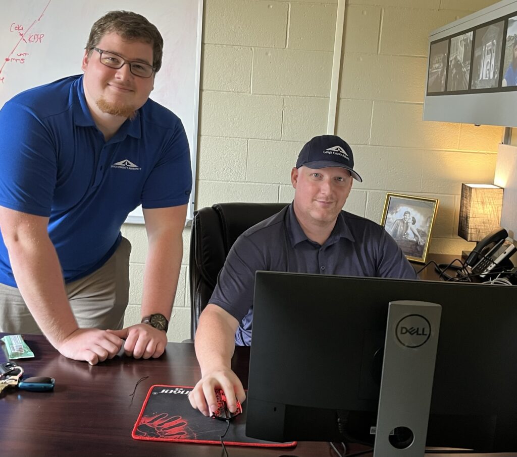
Dan (seated), who started with LCA in January, worked as a geotechnical engineer for a construction firm before joining the LCA team. He says he was “looking for a position where I could utilize more of my GIS and coding skills, and Lehigh County Authority kind of popped out at me. My uncle had worked here years back, at the water treatment plant on Martin Luther King Boulevard.” In his spare time, Dan is also employed by The Wildlands Conservancy, which is headquartered in Emmaus. He is an environmental educator and team lead for the Bike and Boat Adventures Programing.
James (standing) joined the team in in February of this year, not long after his graduation from Kutztown University. He holds a bachelor’s degree in environmental science with a geography track and a certificate in geospatial information technology. James says “it is incredibly satisfying to know that my work helps everyone else in the company be more efficient in their work. I am proud to be part of the LCA mission to protect public health and the environment by providing high-quality, safe, and reliable water and wastewater services.”
Director of Asset Management and Engineering, Albert J. Capuzzi, PE, says “We’re glad Dan and James joined the LCA team, which will continue to grow our use of key data from GIS to inform decisions and determine future projects and expenses.”